- Savage Blog
- E-Scouting for Deer Hunting: Getting Ahead of the Curve
E-Scouting for Deer Hunting: Getting Ahead of the Curve

There's a version of scouting that doesn't require a single step into the woods, and if you're not using it yet, you're leaving an advantage on the table. E-scouting for deer hunting means using satellite imagery, topographic maps, and digital mapping tools to study a property from the comfort of your house, and long before you ever lace up your boots. When done right, e-scouting can turn your hunt from a shot in the dark hoping to see deer, to a careful plan that ups your odds of success. Let's break down what to look for and how to put it to work.
Terrain Features to Look For
Deer move through the landscape in predictable ways, and the goal of e-scouting for deer hunting is learning to spot the features that concentrate that movement. Here are some key features to hone in on when you start scouting.
- Ridges: Deer favor these elevated travel corridors because they offer easier walking and better visibility of what's ahead. Ridges may also have mast trees providing food sources.
- Saddles: These are the low dips between two high points on a ridge. Deer prefer to take the path of least resistance, and a saddle is exactly that, making it one of the most reliable funnels you can find on a map.
- Pinch points: Anywhere terrain or habitat squeezes deer movement into a narrower path, whether that's a strip of timber between two fields or a gap between water and a steep hillside. Pinch points make great locations for placing stands and blinds.
- Food sources: Large ag fields, open timber plots, and other features can be as easy to spot from above as on the ground. Ag fields show up clearly on satellite imagery as open, geometric shapes, while mast-producing trees like oaks are worth marking wherever you can identify a mature hardwood stand, especially since acorns are a major draw once they start dropping in the fall.
- Water sources: Find the water and find the deer. Creeks, ponds, lakes, and rivers not only supply drinking water, but they also double as travel corridors and natural pinch points, especially in drier areas where water access is limited.
- Bedding areas: Where deer spend the bulk of their daylight hours, and they're worth identifying carefully so you can hunt the edges without pushing deer out entirely. Look for CRP fields, thermal bedding cover like stands of evergreen trees that block wind and hold heat, thick brushy cover, and timber draws that offer both concealment and an easy travel route in and out.
Using E-Scouting to Your Advantage
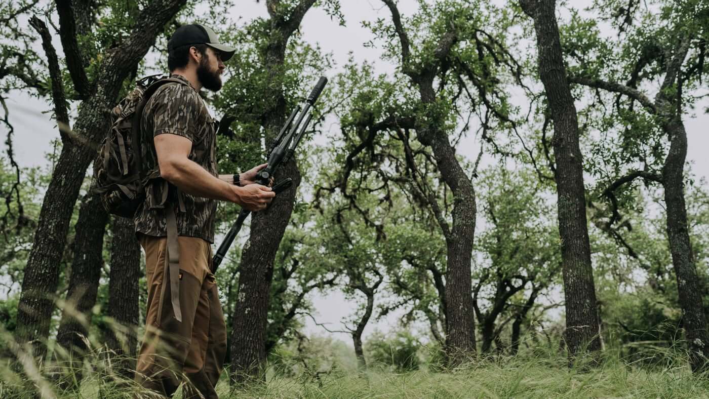
Once you know what to look for, e-scouting for deer hunting becomes less about staring at a map and more about building an actual game plan. Here's how to put that information to work.
Start by getting a lay of the land. Before you can make any decisions, you need a clear mental picture of where water, food, and bedding sit in relation to each other on the property you're hunting. From there, determine potential travel routes, pinch points, and other terrain features where you may want to set up or place a stand.
After you’ve mapped out some potential stand locations, form some access plans for getting into and out of your stand quietly and without being seen. This is where combining e-scouting with boots on the ground will be key. Use your satellite map to identify potential access routes, then confirm their usability on the ground and make adjustments as needed.
Finally, use everything you've learned to narrow down your stand locations and determine the stands that will give you the best opportunities. Consider spots that put you within range of a natural funnel or travel route while keeping your entry and exit routes clean. If you’re hunting out west, make finding water sources your priority, and look for nearby terrain features to utilize. Marking these locations digitally means you'll have a ready-made list of options before you ever set foot on the property, saving valuable time once the season gets close. 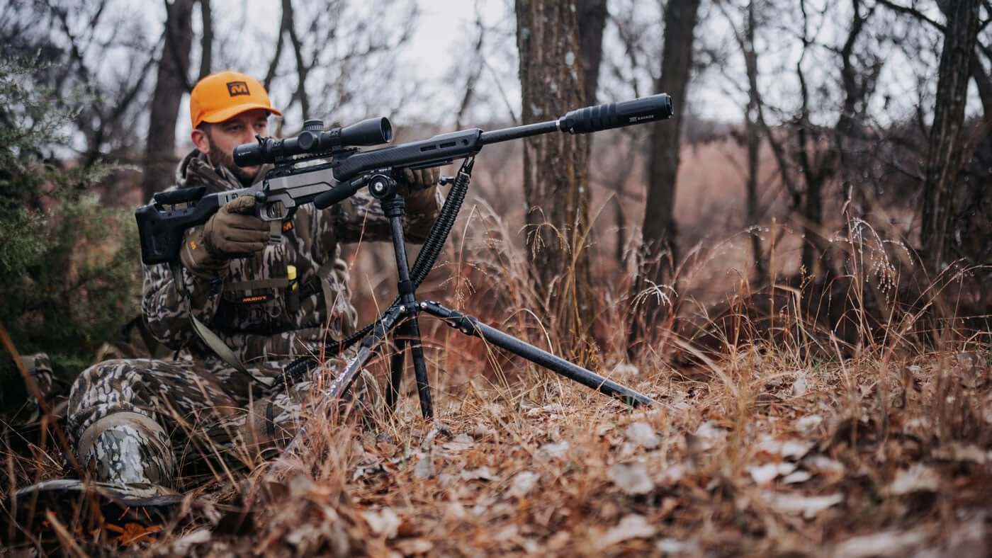
Finding Places to Hunt
E-scouting for deer hunting isn't just useful for properties you already have access to. It's also one of the best tools for finding brand new places to hunt. Digital mapping platforms let you view public and private land information layered directly over satellite and topographic maps, making it far easier to identify legal, huntable ground.
A few resources worth exploring:
- State wildlife management areas (WMAs): These areas are managed by state wildlife agencies specifically to provide public hunting access, often with habitat improvements designed to attract game. WMAs come in all sorts of sizes, so if you’re concerned about the pressure that a larger piece of land may attract, look for hidden gems and smaller pieces that others may overlook.
- BLM land: The Bureau of Land Management oversees hundreds of millions of acres across the western U.S., much of which is open to hunting unless otherwise posted. These areas ca be prime spots for quality mule deer hunting, especially if they sit near migration corridors and watering holes.
- Refuges open to hunting: Some national wildlife refuges allow hunting during specific seasons, offering overlooked opportunities many hunters never consider or know are available to them. Check out your local wildlife refuge regulations for possible opportunities to hunt.
- Private-public access programs: Many states run walk-in or block management programs that pay private landowners to open their ground to public hunters. Many state programs have certain criteria for opening up access to a property, ensuring that it has suitable habitat and can support hunting opportunities. These pieces often face less pressure and can provide excellent hunting.
- Private landowner information: Digital parcel data can help you identify who owns a piece of ground, making it easier to reach out and ask permission directly. If there’s not much public access in your area, don’t be afraid to knock on some doors. Be polite, friendly, and offer to help the landowner or a part of your harvest as a thank you for being granted access.
Combining these resources with the terrain knowledge you've already built gives you a serious head start heading into the season, narrowing down miles of potential ground into a handful of properties actually worth your time. That work you put in ahead of the season pays off when you’re spending more time in the stand and less time searching. 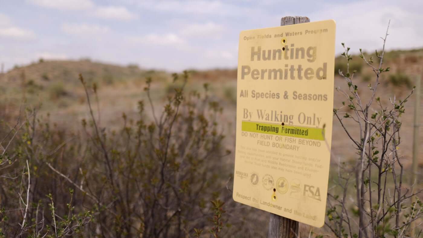
HuntStand: Built for the Diehard Deer Hunter
If you want to improve your odds of success from the get-go, HuntStand is the perfect app from e-scouting to boots on the ground in the field. It’s built for everyone, from the new deer hunter to the diehards looking for every edge in the woods. Josh Dahlke with HuntStand breaks down a few different ways you can use the HuntStand app to get the upper hand this season.
3D Mapping
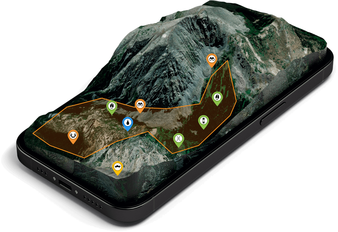
The easiest way to get a feel for the lay of the land is by using the 3D Mapbox Satellite base map layer. It’s like flying through your hunt area in a drone. You can see all the detailed contours, allowing you to envision entrance and exit routes, potential stand sites, and how deer might travel across a property. HuntStand has multiple base map layer options, but 3D is the top pick among the HuntStand team — before the hunt while e-scouting, and during the hunt with boots on the ground. Available in HuntStand Pro and Ultimate.
Property Data
You need to know where you’re hunting. HuntStand makes it easy with property lines for private and public parcels. Private land info includes landowner names and addresses, while public lands are outlined with additional info about land types (state, BLM, Forest Service, walk-in areas, etc.).
Rut Maps
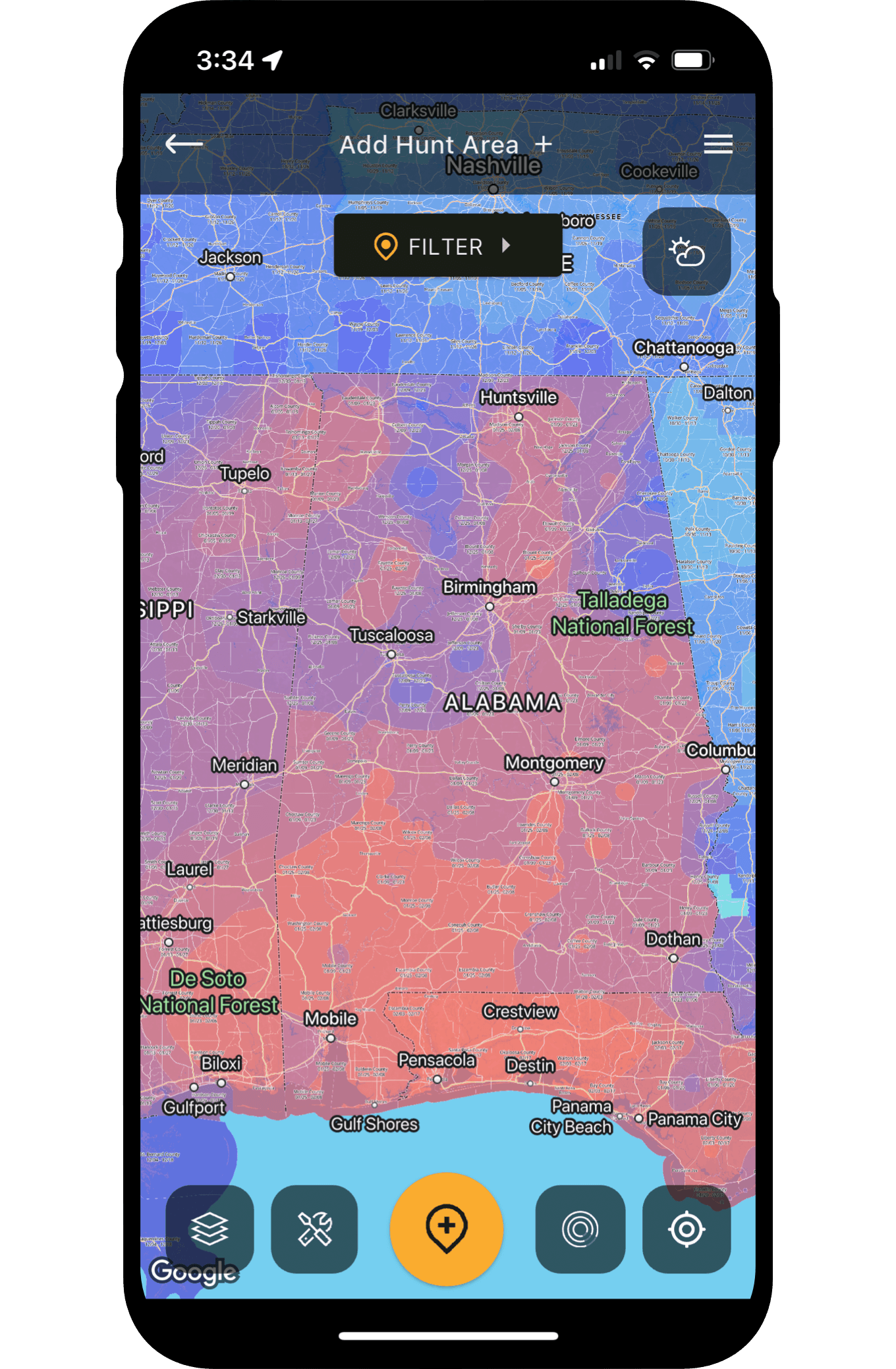
HuntStand is the first and only hunting app to offer detailed rut maps for whitetails, and also for mule deer, blacktails, and elk. Activate the Rut Map overlay and you can tap anywhere on the map to see the precise, scientific rut dates including: pre rut, peak rut, waning rut, pre-second rut, and second rut. These dates are based off the most reliable biological data, most often as granular as herd level. This allows you to plan your rut hunts and adapt your hunting tactics accordingly. Available in HuntStand Ultimate.
Whitetail Activity Forecast
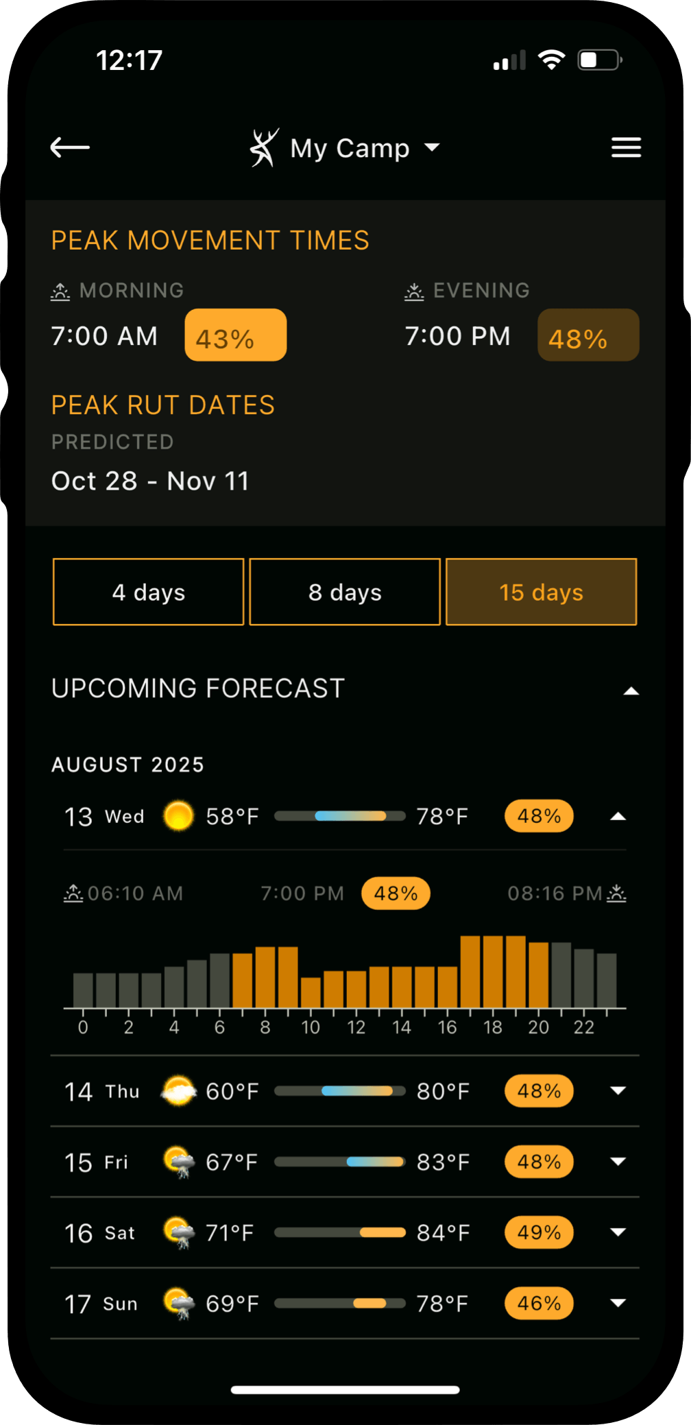
When should you hunt? For most of us, we hunt whenever (and as much as) we can! But whenever you have flexibility to be strategic in choosing your stand time, you might as well get out there when you’re confident deer will be moving. HuntStand’s Whitetail Activity Forecast is simply the most advanced algorithm to predict whitetail movement. Like HuntStand’s Rut Maps, the Whitetail Activity Forecast relies on real science and data from the country’s most respected whitetail experts. Start using the Whitetail Activity Forecast and it won’t take long for you to see the results. Available in HuntStand Ultimate.
HuntZone
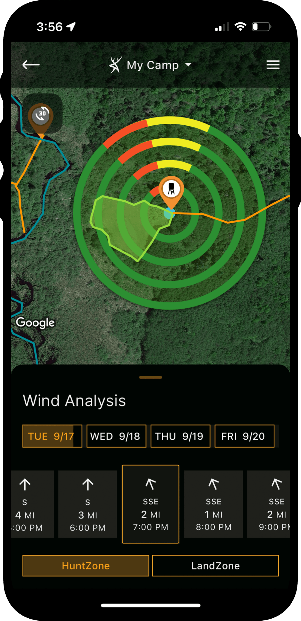
Arguably, the most important consideration in executing a smart and successful deer hunting strategy is wind. You can trick a whitetail’s nose to a certain degree with thorough scent control measures, but playing the wind is almost always crucial to punching tags. HuntZone is a wind forecasting tool in HuntStand that gives you a visual depiction of where your scent will blow hourly. Use it in every stage of your hunt to remain undetected. Available in all HuntStand membership tiers.
E-scouting for deer hunting helps give you the upper hand in the field long before the leaves begin to turn and the temperature drops. If you’re new to deer hunting, or have struggled to consistently find quality deer to hunt, combining e-scouting with your current scouting routine will help improve your odds in the field. Using apps like HuntStand helps give you the tools and information to make better decisions, find productive hunting areas, and put a gameplan together before you head into the field.